CAST acquires, aggregates, analyzes, and applies geospatial data. Whether reconstructing past and present environments or reconciling virtual and physical worlds, we approach spatial data problems in a project-based, applications-oriented, collaborative manner.
Capabilities
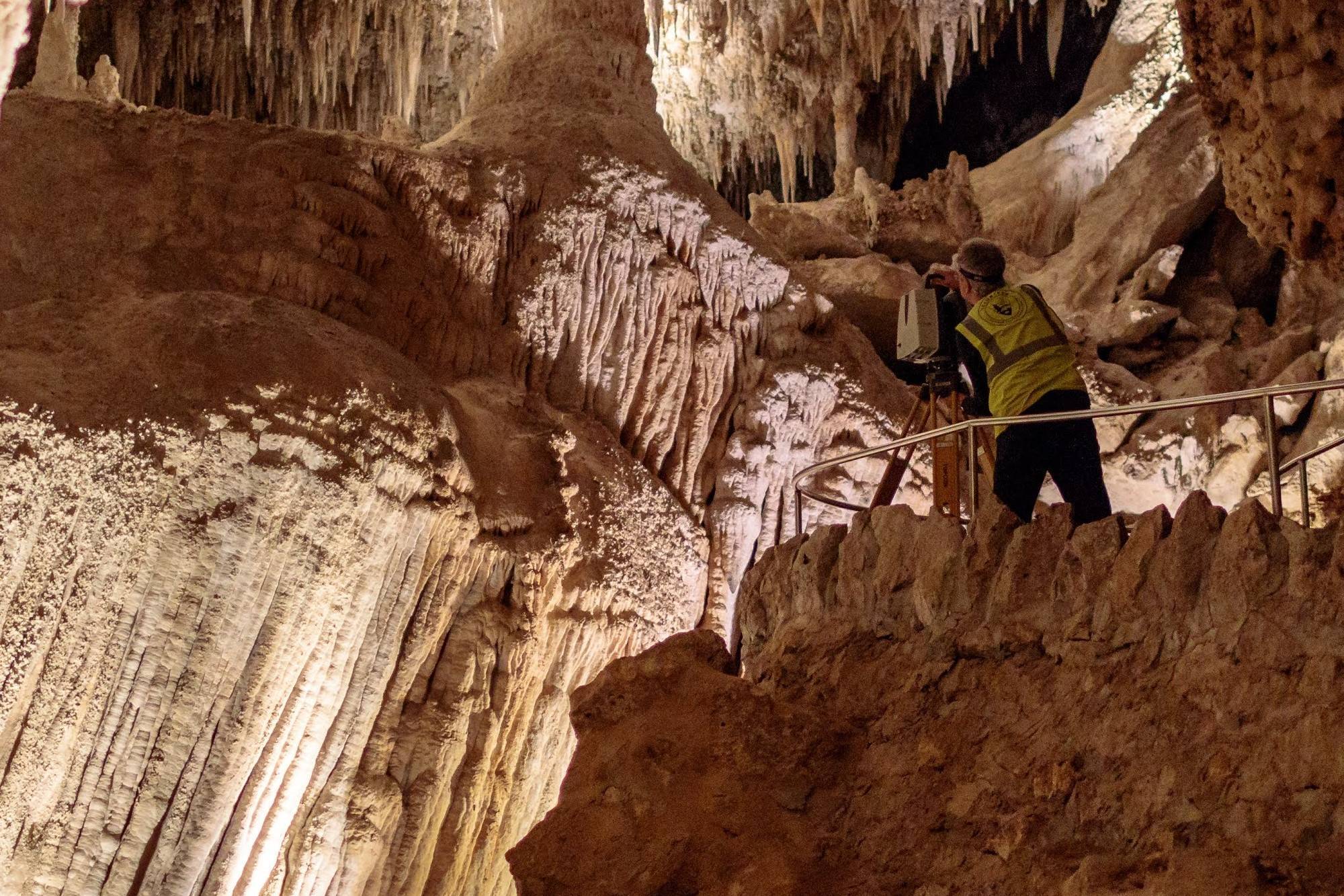
CAST offers expert guidance in the use a wide array of geospatial technologies including sUAS airframes and sensor platforms, terrestrial and airborne LiDAR, GNSS, photogrammetry, and advanced processing software that support the four core areas of research expertise of the Center:
- Geomatics
- Geospatial Data Science
- Heritage Documentation and Visualization
- Spatial Data Acquisition
Resources
CAST maintains a variety of field equipment to support state-of-the-art data collection, processing, and analysis, including equipment for:
- Geodetic positioning and topographic survey
- Low-altitude aerial remote sensing and survey
- Terrestrial scanning and close-range photogrammetry
- and more...
Working with Us
CAST invites potential research partners to include us in proposal development. CAST is principally supported by competitive grants from federal and state agencies that are often developed in collaboration with industry and academic partners.