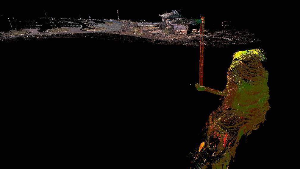
3D Scanning Blanchard Springs Caverns

CAST and the U.S. Forest Service Ozark-St. Francis National Forests (USFS) have developed a collaborative approach to documenting the existing conditions of Blanchard Springs Caverns, a cave system located in the Ozark–St. Francis National Forest in Stone County in northern Arkansas. Blanchard Springs Caverns is a three-level cave system, two of which are open for guided tours.
This inventory of existing conditions will assist the USFS in designing corrective work and maintenance in the future. Complete 3D inventories of the public entrances, service accesses, as well as all portions of the cave, including the natural entrance. The scanning team will use multiple high-density laser scanners throughout the cave system to capture all features.
Associated Grants and Awards
3d Survey Mapping of Blanchard Springs Visitor Information Center and Caverns for Future Research and Development, U.S. Forest Service (2015)
Project Website:
Principal Investigator
Malcolm Williamson
malcolm@cast.uark.edu
479-575-2734
Co-Principal Investigators
Brian Culpepper
brian@cast.uark.edu
479-575-8745